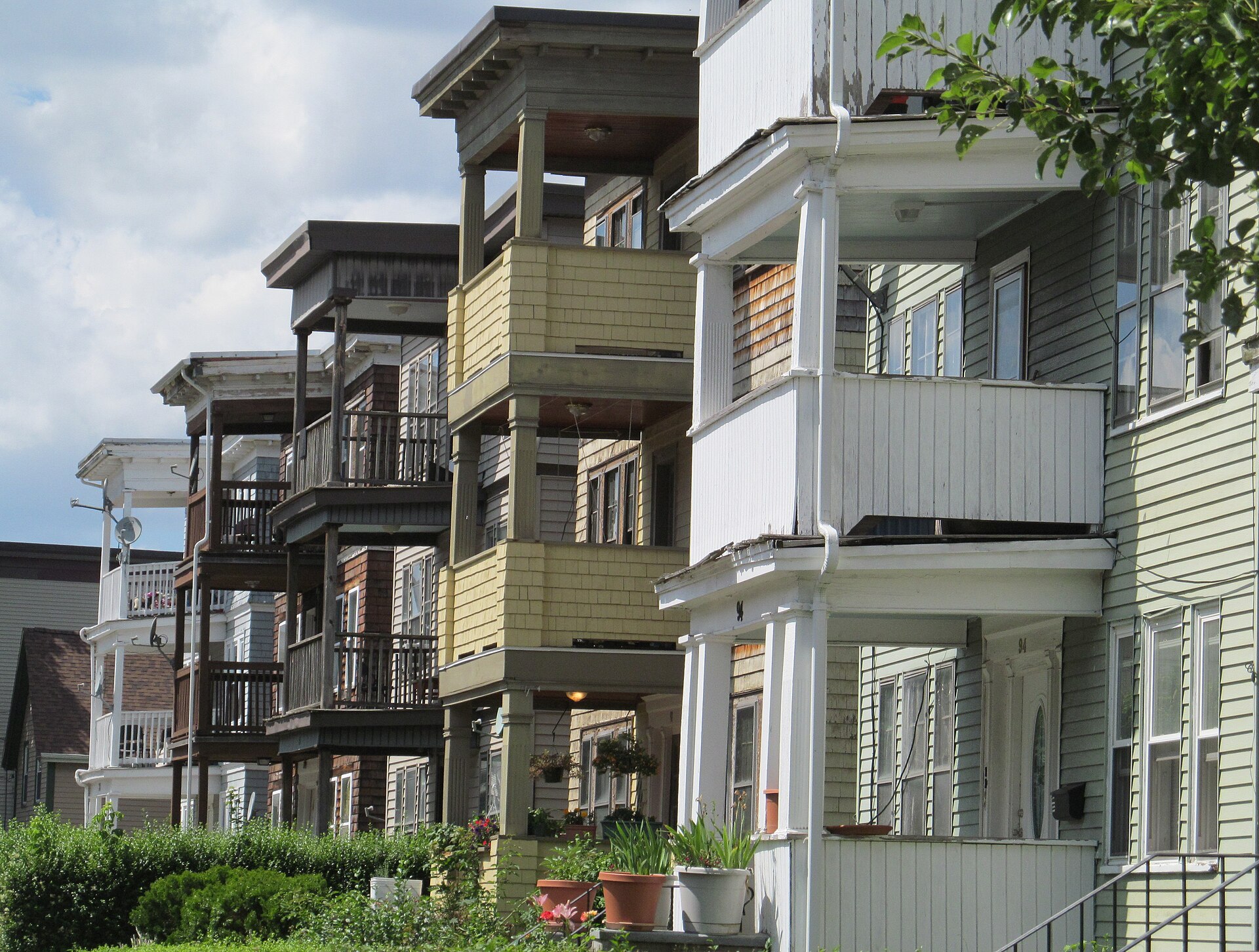
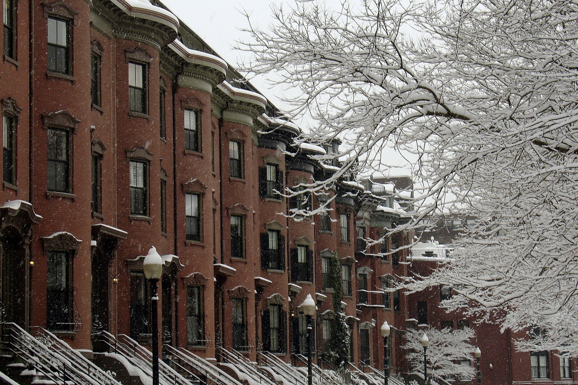
Boston’s South End grew from filled tidal marsh into the country’s largest urban Victorian neighborhood, with development rules shaping the consistent rows of houses that now define its protected streetscape. Its designation as a city landmark district in 1983 placed exterior changes under preservation review.
The neighborhood’s national recognition came a decade earlier. In 1973, an area exceeding 300 acres gained a place on the National Register of Historic Places, according to Boston Landmarks Commission documents verified by Boston Weekly. Those records describe it as the nation’s largest urban neighborhood of Victorian buildings.
That architectural identity emerged largely during a concentrated building period from 1850 through 1880. The long rows were not simply a matter of shared taste: Limits governing building dimensions and construction materials helped produce the consistency still evident across the residential blocks, according to the city’s district history.
A neighborhood built beside the Neck
Before the filling, marshes lay on either side of Boston Neck, the slender land connection whose route is now Washington Street. The idea of turning that landscape into a residential neighborhood preceded the main construction boom by nearly half a century.
Charles Bulfinch proposed filling the marshes for housing in 1801, according to a city neighborhood brochure verified by Boston Weekly. An early surviving development is the Porter Houses, built for distiller William Porter in 1806. At 1724 Washington St., they are the South End’s oldest remaining houses.
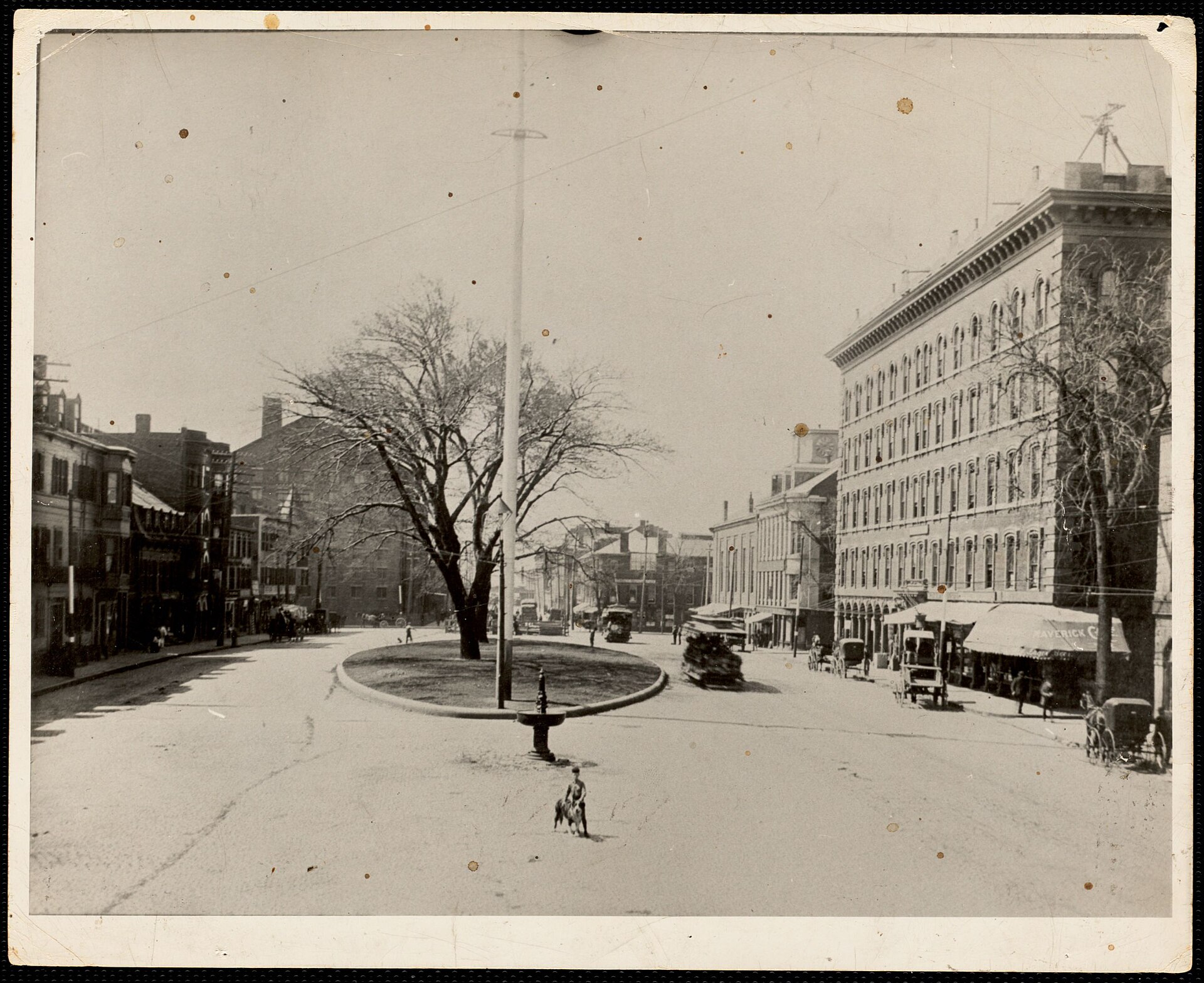
City records place the beginning of marsh filling in 1849. The city’s landmark district account dates the start of development by property speculators to 1850, when they began erecting stylish houses intended for individual families. Together, those accounts trace the transition from land creation to the major residential building period.
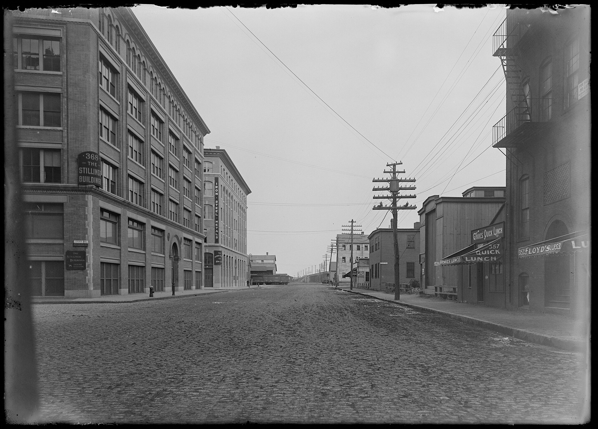
The resulting neighborhood was not exclusively residential. The district also encompasses parks and major streets lined with businesses, industrial properties and institutional buildings, alongside its historic housing blocks.
Changing residents and transportation plans
The market for those houses shifted after the financial panic in 1873. According to the city’s history, Boston’s wealthiest residents left for the newly developed Back Bay. By around 1900, new residential construction consisted almost entirely of lodging houses serving working-class residents.
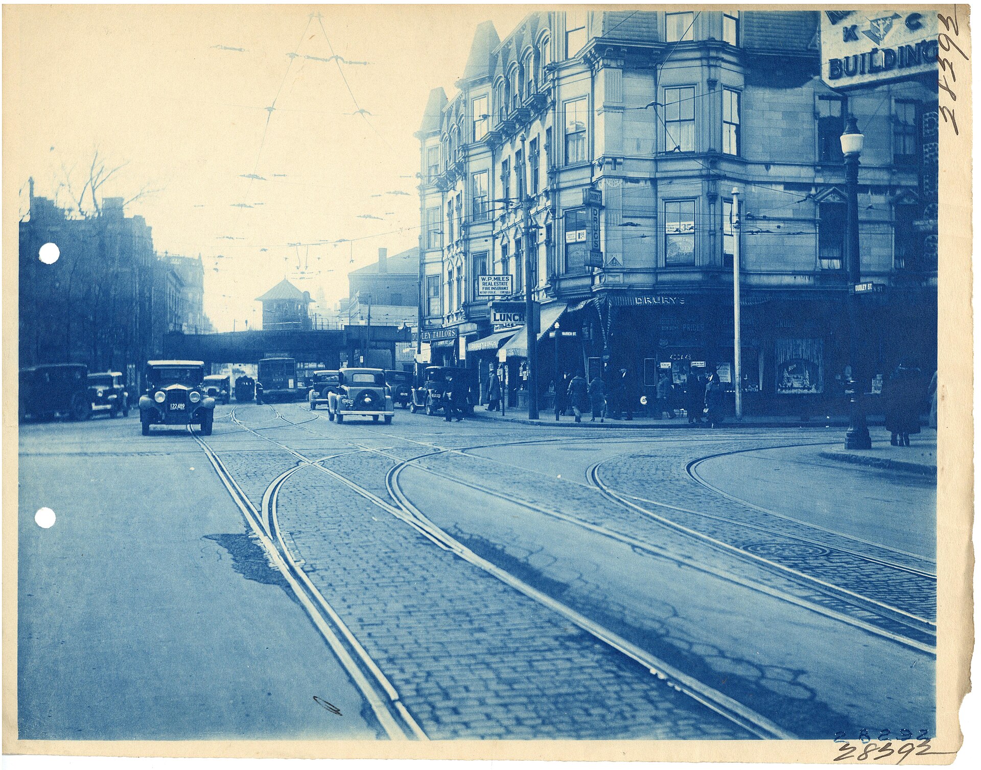
Transportation proposals later brought another consequential change. During the 1960s and 1970s, community opposition stopped plans for the Southwest Expressway, intended to carry Interstate 95. The land instead accommodated a rerouted Orange Line and Southwest Corridor Park, developed between 1979 and 1987. The elevated railway along Washington Street was subsequently taken down, according to city climate-planning documents verified by Boston Weekly.
Today, the landmark designation requires commission approval before exterior work covered by its rules can begin. A separate protection area has more limited categories of work requiring review, making the property’s location relevant to the approval process.
What’s next: Owners planning covered work must submit a design application. The district commission generally meets monthly on the first Tuesday; staff must deem an application complete at least 15 business days before a hearing for it to reach the agenda.