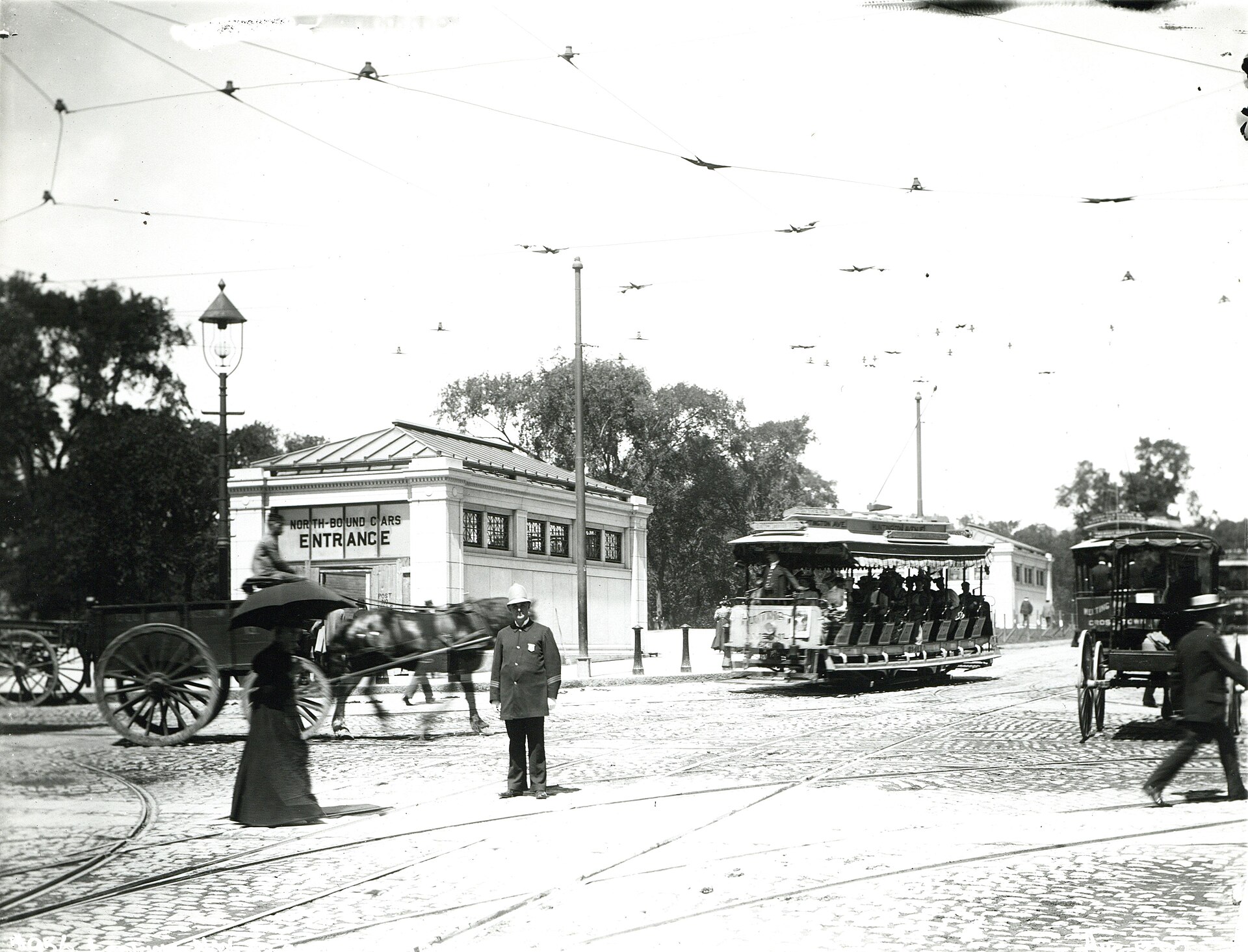
Boston opened the nation’s first subway on Sept. 1, 1897, sending electric streetcars beneath downtown streets to relieve congestion above them. The Tremont Street subway was built primarily to remove trolleys from crowded roads, rather than create a separate rapid transit service. Its tunnels remain central to the MBTA’s Green Line.
The project gave Boston the oldest subway tunnel in North America. Today, its route links Boylston with Park Street and Government Center, making a pioneering transportation project part of an everyday trip through downtown.
Construction was authorized by the Massachusetts Legislature and overseen by chief engineer Howard A. Carson. The transportation paralysis caused by the 1888 blizzard helped influence the decision to build underground, alongside the continuing problem of traffic-clogged streets.
A subway built around streetcars
Work took place between 1895 and 1897, beginning at the location now occupied by Boylston station. The initial pair of stations served Boylston and Park Street, with the former situated where Tremont and Boylston streets meet at Boston Common’s southeastern corner.
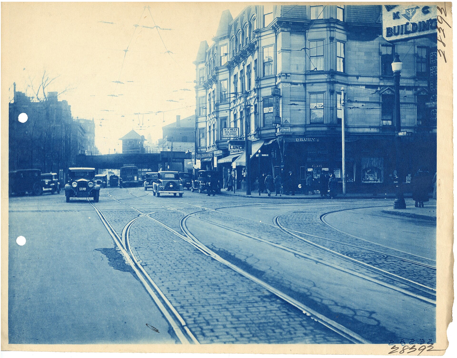
The early system connected underground tracks with streetcar routes on the surface. At Boylston, the inner tracks carried cars between a Public Garden entrance and a turnaround loop at Park Street. The outer tracks connected to the Pleasant Street incline, allowing streetcars from the south to continue toward North Station.
That arrangement let many western routes turn back at Park Street while southern routes traveled farther through downtown. The tunnel’s early station network also included stops at Scollay Square, Adams Square and Haymarket.
The new infrastructure was not universally admired. Architect Edmund M. Wheelwright designed stone entrance buildings for the Common’s two stations, but their imposing appearance drew criticism for clashing with the setting. Later subway projects adopted more restrained entrances in response.
A changing system, a familiar station
Boylston’s four-track arrangement also accommodated a different type of service. Between 1901 and 1908, Main Line Elevated trains used its outer tracks with temporary wooden platforms built higher for those trains. Streetcars continued running on the inner pair.
As Boston’s transit network expanded, the original subway changed with it. Connections added at Park Street, Scollay Square and Haymarket linked riders to routes that became today’s Red, Blue and Orange lines. Surface entrances were replaced as tunnels extended farther from downtown.
The redevelopment of Scollay Square brought a major alteration in 1963. Its station became Government Center, Adams Square station closed, and the northbound tunnel toward Haymarket shifted west. Portions of the abandoned tunnel were filled to support City Hall’s foundation; other space was adapted for deliveries and, later, records storage.
Boylston, by contrast, preserves much of its early appearance and essentially the same track layout. Two entrance buildings have been removed, and a passage connecting the platforms was sealed. Its former outer tracks no longer carry passenger service; two retired streetcars are displayed on a disconnected track segment.
Service through the Pleasant Street entrance ended in 1962. The portal was eventually buried beneath Elliot Norton Park, though the unused tunnel leading to Boylston remains underground.
The Tremont Street subway received National Historic Landmark designation in 1964. Its history survives not only in protected structures and retired equipment, but in tunnels that continue carrying Green Line riders through central Boston.